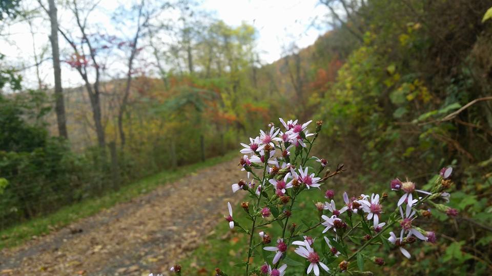
This historical trail takes users from the breached South Fork Dam that started the 1889 Johnstown Flood, to the Stone Bridge in Johnstown where floodwaters broke. The Path of the Flood Trail provides numerous trail-side markers that tell the story and enable users to visualize the scene within the Little Conemaugh River valley, which remains largely unchanged more than 135 years later. Additionally, this trail is naturally beautiful and challenging with some steeper grades and varying trail surfaces.

Trail Description
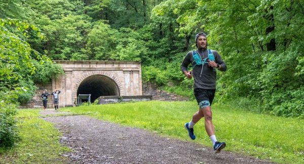
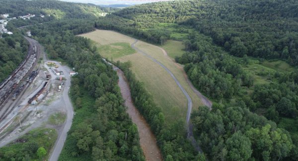
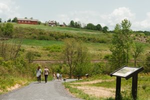
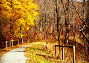
The Path of the Flood offers a 14-mile bicycle ride that’s both intellectually and physically satisfying. Beginning at the breast of the dam, visitors pass through the old lakebed and breast of the dam that broke in 1889, causing the Johnstown Flood. A few minor, steep climbs will lead visitors into a more challenging section of trail as they travel through the recently reclaimed Stineman “bony” piles, then “share the road” for a short distance to the remaining off-road trail experience. A four-mile section from the trailhead in Ehrenfeld to Mineral Point offers scenic views, educational trail side markers and moderately challenging slopes when riding eastward. Below Mineral Point and the two-mile Staple Bend Tunnel Trail, which is managed by the National Park Service, bicyclists will be challenged with steep grades for one mile. Please refer to the Allegheny Portage Railroad website for more information about this section of trail. Following another mile on more-level dedicated trail to a hillside park above Franklin, the rider will travel along public streets into East Conemaugh before enjoying another challenging short section of trail in Woodvale Heights, providing an extraordinary view of the city of Johnstown. Visitors will then finish the short remaining distance on public streets before reaching the Path’s terminus at the Johnstown Flood Museum.
Trail Heads
South Abutment/Breast of the Dam (National Park Service)
314 S. Abutment Rd., South Fork, PA
Stineman
108 Ribbon Ln., South Fork, PA
Bealtown
312 Maple Street, South Fork, PA
Fifficktown
602 Portage Street, South Fork, PA
Staple Bend Tunnel Park (National Park Service)
1156 Beech Hill Road, Johnstown, PA
Franklin Ballfield
142 Staple Bend Tunnel Trl., Johnstown, PA
